Understanding Drone Regulations for Coastal Areas
Why Drone Rules Matter for Scenic Shorelines
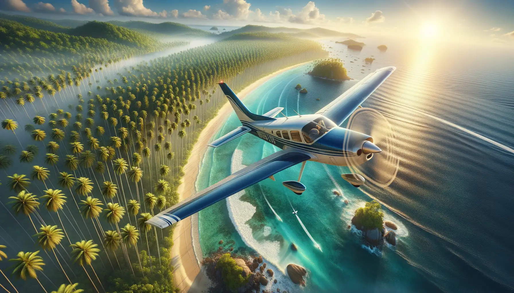
Picture this: your drone buzzing over endless turquoise waves and coconut trees swaying in rhythm with the ocean breeze. Sounds idyllic, right? But coastal areas aren’t just Instagram backdrops—they’re often dotted with protected ecosystems, bustling ports, and even restricted airspaces. Here’s where understanding regulations is crucial.
Coastal zones usually come with tricky boundaries. Some beaches fall under national park protection, while others may overlap with nearby airports or military zones. Violating these zones could result in hefty fines—or worse, your drone being confiscated.
Did you know? Several countries have “no-fly zones” around marine sanctuaries to protect wildlife like sea turtles or migratory birds. Flying there could disrupt sensitive breeding cycles or scare off species entirely.
- Check coastal maps for restricted and controlled airspaces before launching your drone.
- Be aware of low-altitude flying bans if ships, kitesurfers, or local fishermen share the area.
With a little research and respect for the rules, you can safely capture those jaw-dropping shots without disturbing the harmony of the shore. After all, the goal is to preserve the magic for everyone to enjoy!
Essential Permits and Licensing for Drone Use

Know the Right Permissions Before You Take Off
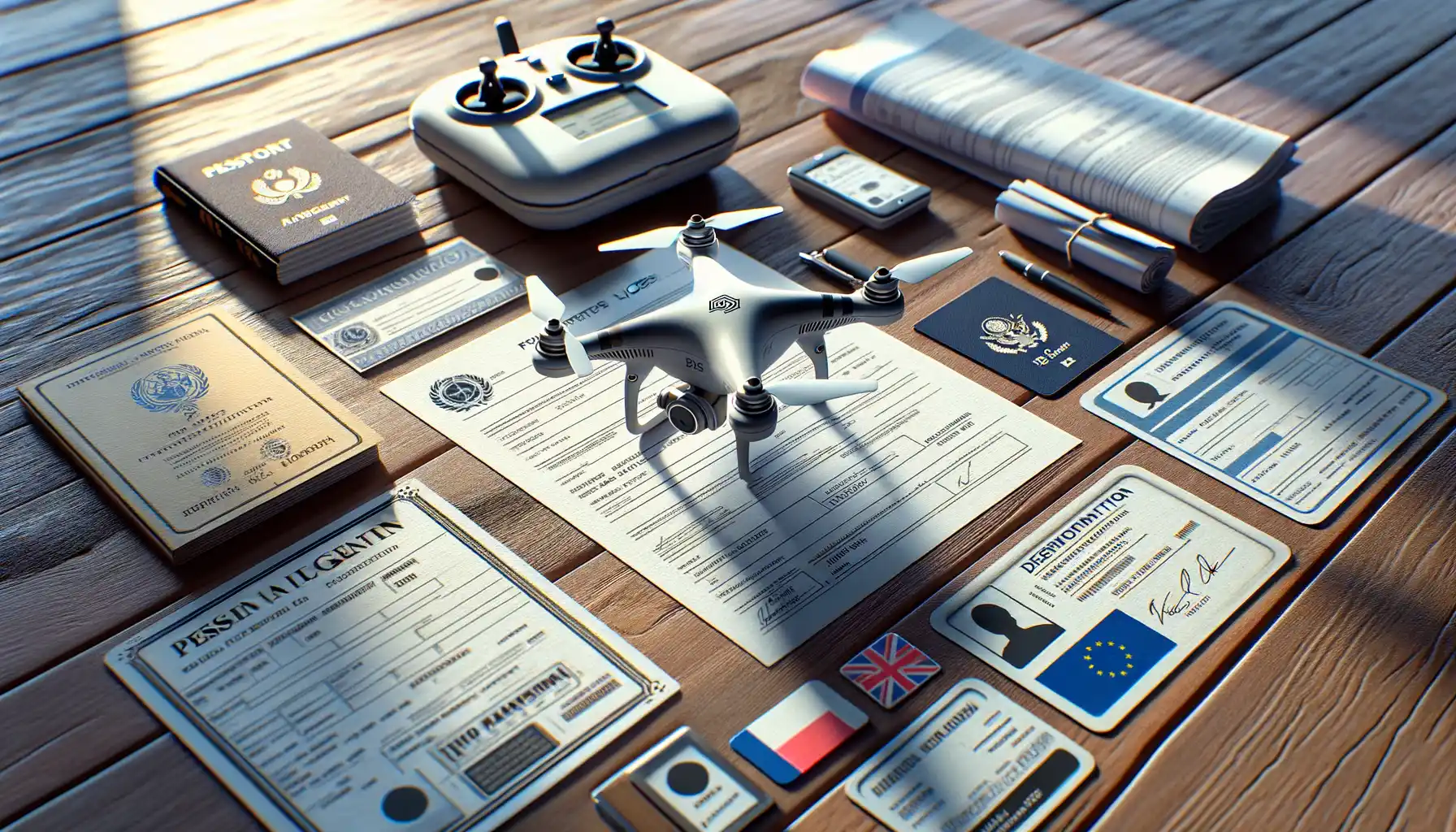
Before your drone takes flight over those picturesque, coconut-fringed shores, there’s one vital step you can’t skip: understanding permits and licensing requirements. Think of it like a boarding pass for your aerial adventure—without it, your journey may never get off the ground.
First things first, is your drone for personal or commercial use? If it’s the latter, most countries require a Remote Pilot Certificate, aka your golden ticket. This ensures you know how to operate safely and stay within regulations. For personal flights, the process might be simpler but still requires registration of your device in many cases.
Some areas also classify their coastal zones as restricted airspace—meaning you’ll likely need additional special permits. When flying near nature reserves or over beaches, local authorities guard these spaces like protective parents. Always check if you’re entering a no-drone zone!
Here’s a quick checklist:
- Register your drone with aviation authorities (like the FAA if you’re in the U.S.).
- Check if you’re required to apply for temporary flight authorizations.
- Secure proof of permission for specific spots, particularly tourist-heavy coasts.
Skipping the paperwork might seem tempting, but trust us—it’s not worth the fines or grounded flights. Prepare well and let those palm tree vistas come alive!
Safe Flying Practices Over Coconut Tree-Lined Shores

Gliding Above Paradise with Precision
Flying your drone over the dreamy, coconut tree-lined shores isn’t just about epic shots; it’s about doing so responsibly. Imagine weaving your drone through the salty sea breeze while respecting not only local laws but the pulse of the land and its people. Coastal skies are unique—alive with unpredictable winds, vibrant wildlife, and natural beauty that deserves protection.
Here’s the golden rule: always maintain a safe distance from those majestic swaying palms. They might look postcard-perfect, but their height can easily fool you into underestimating their reach. Slow, steady movements are your secret weapons here—think of it as a graceful aerial dance rather than a race up the coastline.
- Fly at least 50 meters away from trees, buildings, or people to avoid collisions.
- Be vigilant during windy conditions; gusts can veer your drone off course faster than you’d expect.
Respecting Privacy and Shared Spaces
Coconut coasts often mean cozy beach homes and bustling public spaces. While your drone’s buzzing might sound thrilling to you, it may be an unwelcome guest for sunbathers or locals enjoying a quiet day. Always avoid flying directly over people, and never linger near private properties. Instead, scout out open stretches of beach where you can capture breathtaking panoramas without invading personal moments.
Impact of Local Wildlife and Environmental Guidelines

The Delicate Dance Between Drones and Coastal Wildlife
When soaring above the shimmering coastline, your drone isn’t just capturing breathtaking views—it’s also entering the delicate habitat of local wildlife. These serene shores are home to nesting seabirds, curious crabs, and even protected turtle hatchlings. The buzz of rotors may seem harmless, but to a fragile ecosystem, it can feel like a sudden flash of chaos.
To minimize disturbance, be mindful of “no-drone zones.” Many areas near coconut-lined beaches enforce restrictions during bird nesting or turtle hatching seasons. And don’t forget: certain species, like the endangered Hawksbill turtle, rely on these quiet shores to thrive. Flying too low could disrupt their natural behaviors irreparably.
- Avoid flying within 50 meters of nesting grounds.
- Stick to designated flight paths where permitted.
- Monitor your drone’s noise levels to keep things peaceful.
Environmental Laws That Ground Careless Flights
Beyond protecting wildlife, some coastal regions enforce strict environmental guidelines to preserve their natural beauty. Littering, accidental plant damage caused by landing drones, or even flying in conservation zones may lead to hefty fines—or worse, permanent bans.
Let’s say you’re capturing the swaying elegance of coconut trees framing a golden sunset. Gorgeous, right? But if your drone clips a branch or disturbs native flora, you risk penalties for damaging protected vegetation. Knowing local laws is not just a legal checkbox—it’s a way to become a steward of your surroundings.
Always research regulations specific to your location. Some governments provide online maps or apps highlighting safe zones and restricted ones. Stay informed, fly respectfully, and let nature shine without interruption.
Tips for Capturing Stunning Aerial Views Legally

Navigate the Skies, But Know the Rules
You’re itching to soar your drone over those breathtaking coconut-dotted shores, right? The swaying trees, the azure waves, and the golden sands—it’s paradise from above. But here’s the catch: staying on the right side of the law is your ticket to capturing that jaw-dropping aerial shot.
Start by knowing where you can and can’t fly. Some coastal areas might be restricted zones, especially near ports, airports, or wildlife sanctuaries. Keep an eye out for no-fly zones—apps like *AirMap* or *Drone Assist* can save you from a headache. And don’t forget about altitude limits! Staying under the maximum height, usually around 400 feet, keeps you compliant—and away from those planes zipping overhead.
- Double-check the local drone regulations before takeoff. A quick online search or chat with locals can reveal surprises.
- Always carry proof of your permits or licenses, if required. Trust me, it’s better than explaining to an authority mid-flight.
Respect the Environment While You Snap
Flying over palm-laden shores isn’t just about pretty pictures—it’s about responsibility, too. Imagine you’re a bird weaving through those coconut trees. Steer clear of areas with nesting wildlife, as drones can spook birds, even cause them to abandon their homes. The beach isn’t just yours; it’s theirs too.
And then there’s the human factor. Nobody wants a noisy drone buzzing during their beachfront nap. Fly early in the morning or late in the afternoon when beaches are less crowded for more tranquil shots. Think of it as giving people (and nature) their space while stealing the best light for your photos.


